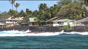
HONOLULU (AP) - People concerned about how rising sea levels will affect communities in Hawaii, Guam and the Northern Marianas Islands have a new tool to help them plan ahead.
The National Oceanic and Atmospheric Administration and the University of Hawaii at Manoa worked together to incorporate these Pacific island areas into a national web-mapping tool that enables people to picture what rising sea levels will do to coastal areas.
The Sea Level Rise and Coastal Flooding Impacts Viewer overlays high-resolution aerial images on top of elevation data.
This allows users to see what higher sea levels would do to landmarks and critical infrastructure. It also shows what populations would be vulnerable to rising sea levels.
University of Hawaii Professor Chip Fletcher says it fills an important gap for Hawaii planners and managers. More
